


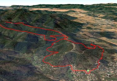
13.5 km | 21 km-effort

User


FREE GPS app for hiking
 SityTrail
IGN / Geographical institutes
SityTrail World
The world is yours!
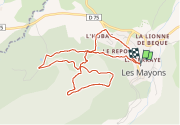
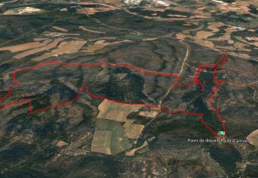
Trail Walking of 5.9 km to be discovered at Provence-Alpes-Côte d'Azur, Var, Les Mayons. This trail is proposed by Chantheys.
Variante de la randonnée "Le Castel des Maures" du TopoGuides "Coeur du Var...à pied" PR16, pour éviter la portion aller-retour entre les points 1 et 2.
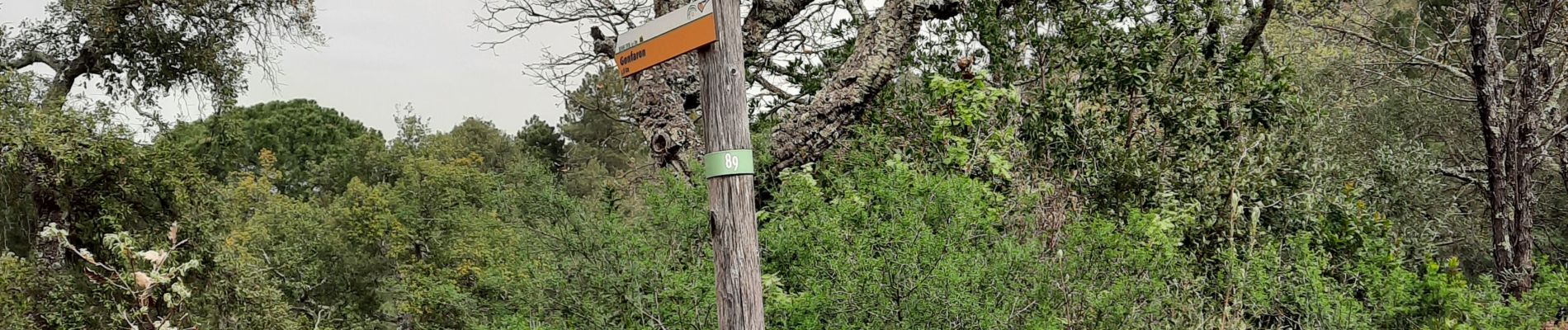
Sinon, celle du guide est très bien balisée, balisage rouge.
Attention, le nom du bar près du parking a changé, c'est maintenant L'Annexe.


Walking

Walking
Walking
Walking
Walking
Walking
Walking
Walking
Walking